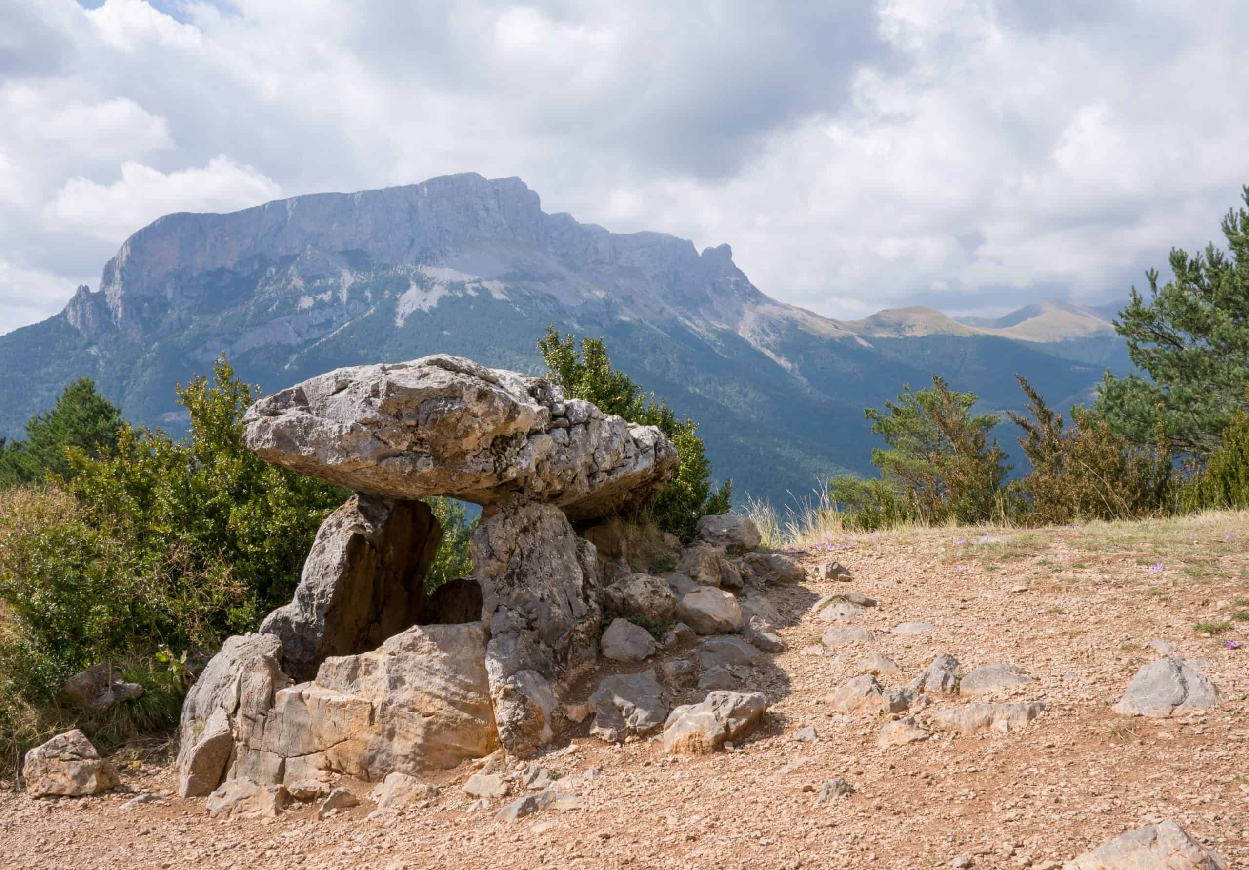
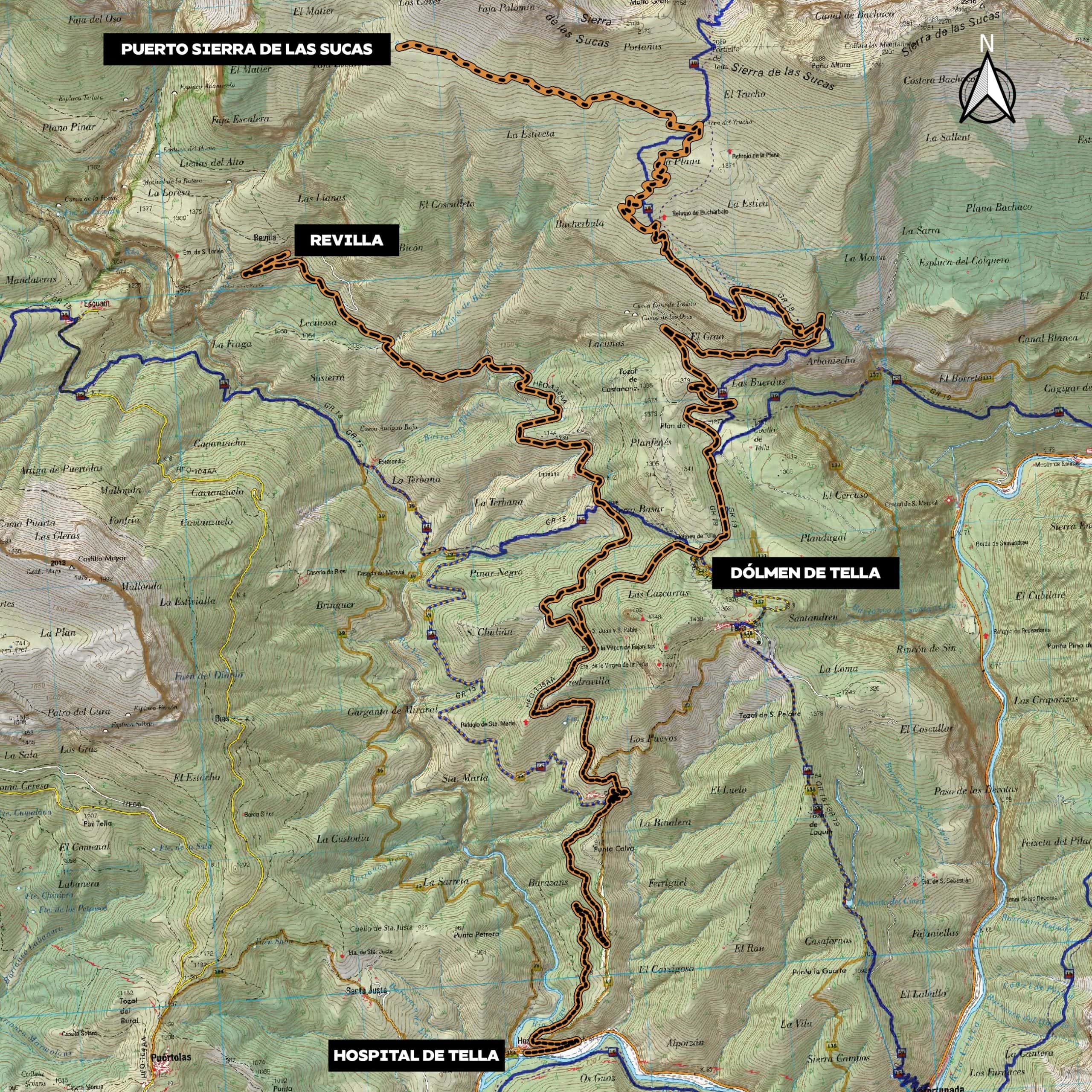
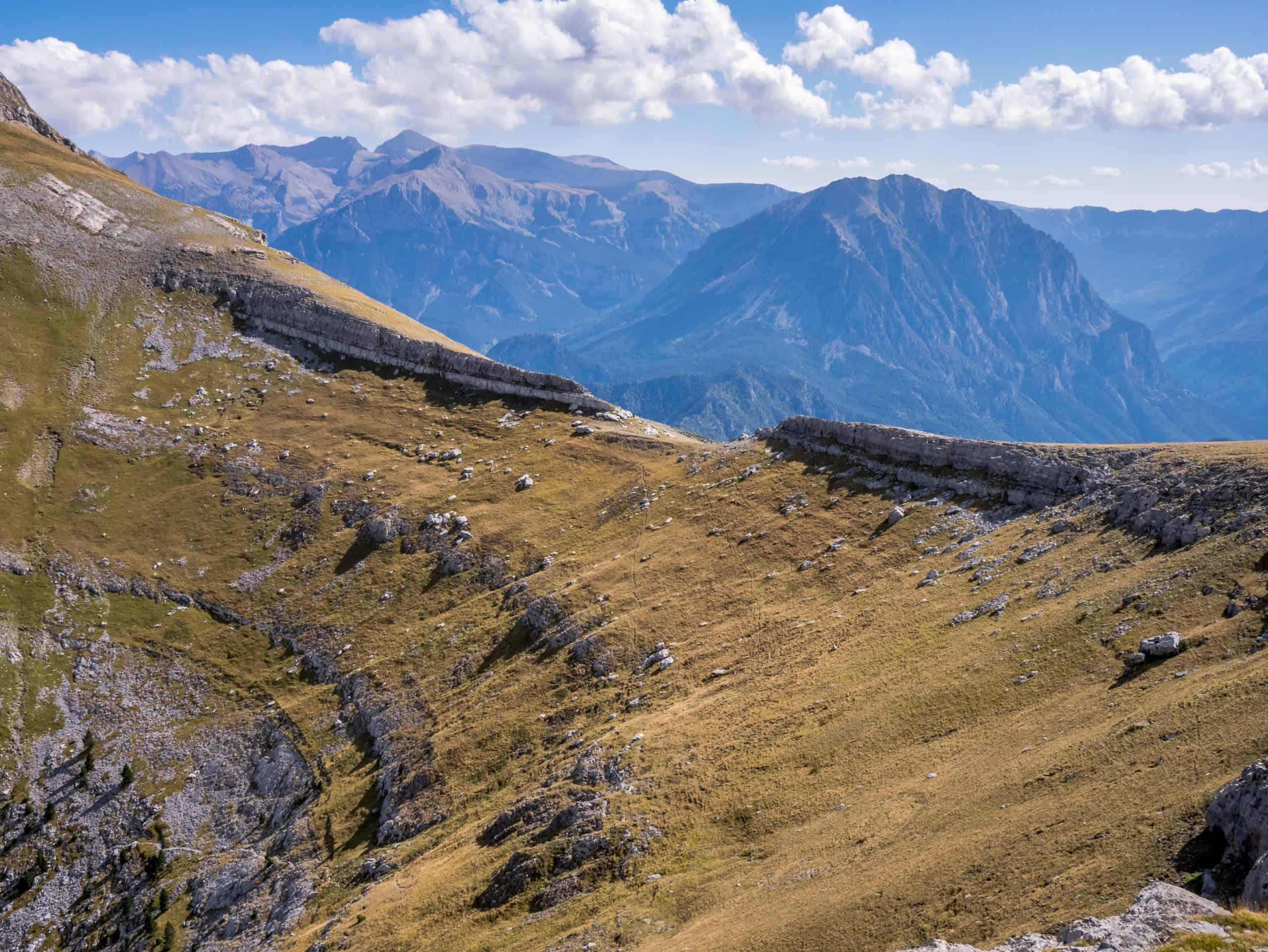
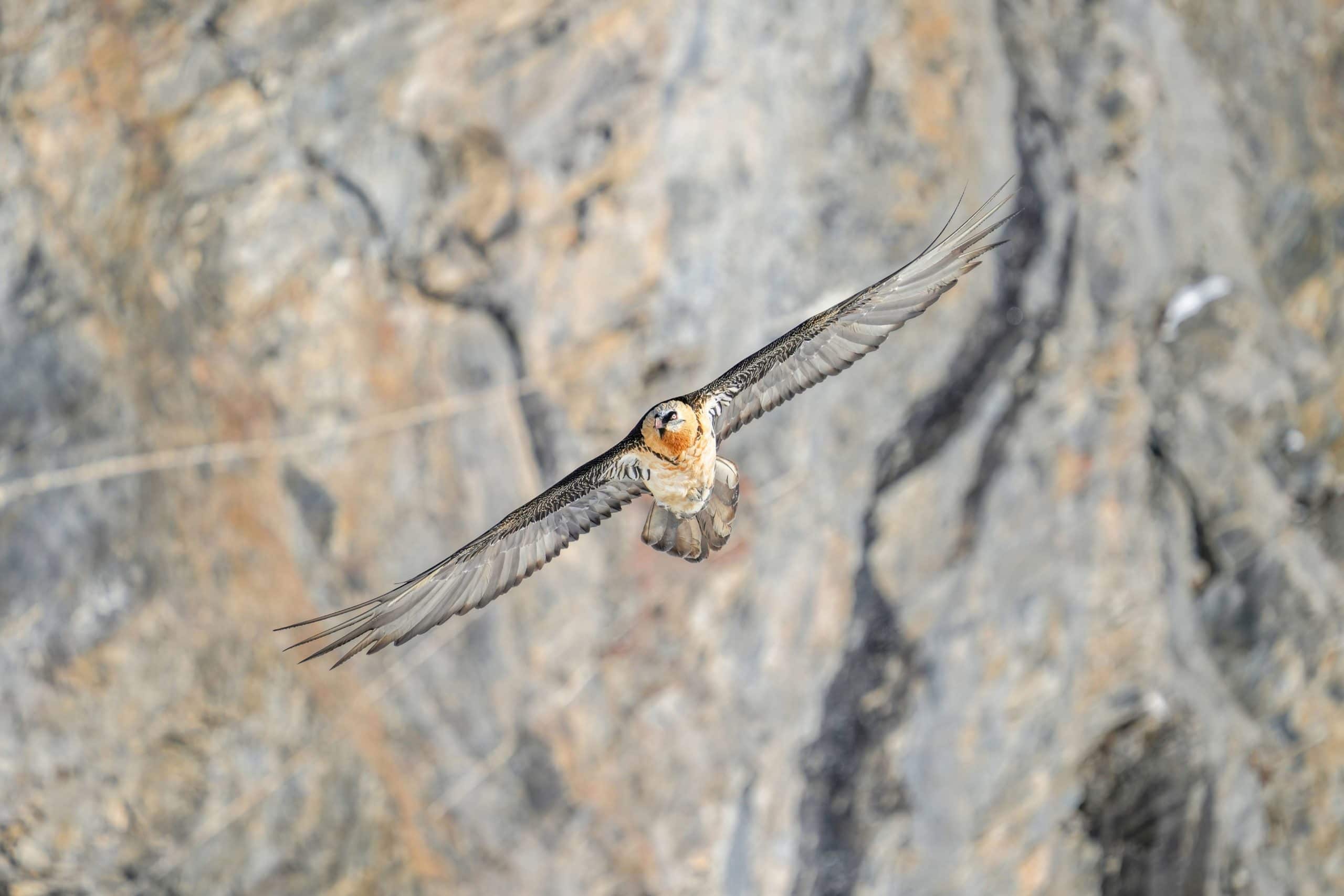
A route with a high percentage of road riding that climbs up to 2,000 meters at the foot of the Sierra de las Sucas, passing right next to the Tella Dolmen.
TELLA AND REVILLA
Hospital de Tella
Technical data
Route type: Linear
Estimated time: 5-6 horas
Terrain: Pista y carretera
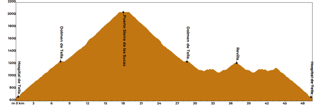
Total elevation gain: 1700 m
Physical difficulty: Hight
Technical difficulty: Low
Distance: 49,3 km
Track 21 km
Road: 28,3 km
49,3 km
5-6 horas
1700 m
Hight
Points of interest
• Km 0: Departure from Hospital de Tella. A tough climb with 1,400 meters of accumulated elevation gain begins here.
• Km 7.5: Tella Dolmen. The climb up to this point is demanding, reaching an average gradient of 8%. You will pass by the village of Cortalaviña, skirting the Castillo Mayor on its eastern side. From this point, there is an option to visit the village of Tella.
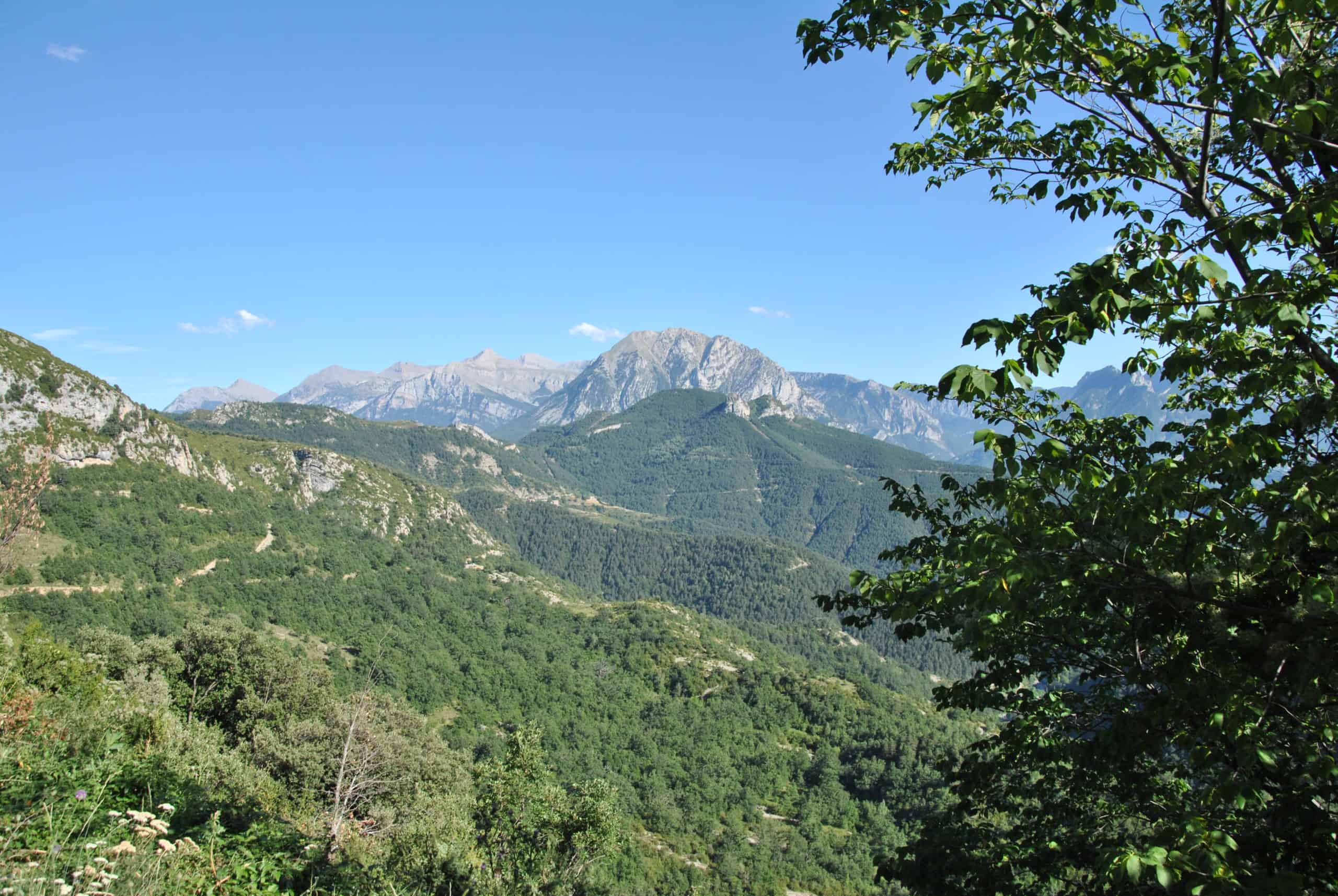
• Km 18: End of the track, cresting the Sierra de las Sucas pass. Breathtaking views of the valley and Peña Montañesa.
• Km 36.6: Revilla. A beautiful natural balcony overlooking the Yaga River canyon and the Escuaín Gorges.
• Km 49.3: Arrival at Hospital de Tella after a fast descent on asphalt.
Water / Refreshment point
- Water points: In Tella and Revilla. You must refill water for the Sierra de las Sucas climb while in Tella.
- Supplies: There are no supply points on the route. You must carry enough food before starting the route.
Caution
• Cycling is prohibited within the Ordesa y Monte Perdido National Park. When you see the National Park sign, you must leave your bicycle and continue on foot.
• The route has a high percentage of road riding, and the sections it covers are narrow mountain roads. Use caution on descents and use red warning lights or similar so that drivers can see you safely.